This is a 10 mile walk following the Saxon Shore Way along the Little & Great Stour Rivers. Access to the Saxon Shore way path at Grove Ferry is easily possible by a frequent bus service from Canterbury. Most of the route is easy to navigate as it runs next to either the Little or Great Stour rivers virtually the whole way to Sandwich. The only place where I encountered problems was at the start of the walk. Here the path initially runs along the south bank of the Great Stour through the popular Grove Ferry picnic site & then, after a short distance, it migrates south across fields to the Little Stour. I found the way markers in this area rather misleading. However, once you reach the Little Stour you cross a small footbridge to the south bank & simply follow the river east for ~1.5mls to Plucks Gutter where it joins the Great Stour. The path then follows the Great Stour, east, right to the outskirts of Sandwich. There is a frequent bus service from there back to Canterbury.
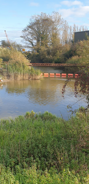
The Great Stour at Grove Ferry is popular for boating & canoeing. It is also adjacent to the Stodmarsh National Nature Reserve.
The Little Stour is the main tributary of the Great Stour. It originates at springs near Well Chapel, Bekesbourne & flows into the Great Stour at Plucks Gutter.
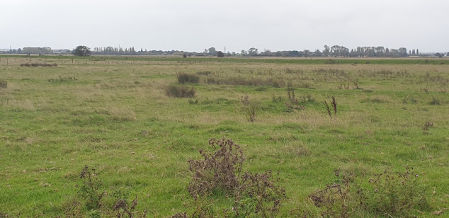
The landscape to the south of the route is rather flat, featureless & uninspiring.
The Great Stour looking east towards Richborough.
Sheep grazing by the Great Stour.
Sussex cattle with their calves in a field a little further along the river. This popular breed of beef cattle is descended from the draught oxen long used traditionally in the Weald of Kent & Sussex. They are easy to handle & renowned for their hardiness & ability to thrive on the poorest of pastures.
Wind turbine near Richborough.
The Stonar Cut, near Richborough, is a channel constructed across the neck of a large loop in the Great Stour & controlled by flood gates. It was built during the late 18thC. to protect Sandwich & the surrounding farmland from flooding. If the flow in the river is running full after heavy rainfall the Stonar Cut gates are opened to divert part of the flow directly into the estuary below Sandwich, thus bypassing the town. The Cut is also useful in obviating the need for seagoing vessels to take the longer route around the loop at Sandwich.
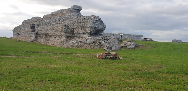
Richborough Castle lies to the west of the Saxon Shore Way just to the north of Sandwich & is accessible by a footpath across a railway line adjacent the route. It occupies the site of the first Roman landing during their invasion of Britain in AD43 and the prosperous town which developed here became the principle port for the new Britannia province. It also served as a base for the British arm of Roman navy, the Classis Britannica. As the coastline silted up the town gradually declined and was gradually abandoned. In AD 275 the original fort was demolished and replaced by a new one which was to become the most important of the Saxon Shore forts built by the Romans to protect the Kent coast from Saxon & Frankish raiders. Richborough Castle constitutes the ruins of this fort. These ruins & a small museum are open to the public.
The Butts, Sandwich.
Just south of Richborough Castle the Saxon Shore Way leaves the banks
of the Stour & passes beneath a road bridge carrying the busy A256,
Ramsgate Road. It then goes down a quiet road to the outskirts of Sandwich
where you follow the attractive Butts footpath into the centre of town. This
path actually follows the site line of the now non- existent western medieval
defensive town wall of Sandwich.
There is a regular bus service back to Canterbury which leaves from the Sandwich Guildhall.


No comments:
Post a Comment